- Overview
- Why GPR?
- Services
- Concrete Cutting
- Concrete Drilling & Coring
- Rebar Steel Reinforcement Scanning Location
- Post-tension Cables Scanning & Location
- Pipe Conduit Scanning & Location
- Phone, Data & Fibre Optic Cables
- Structural Mappings
- Slab Thickness Reporting
- Electricity Cable Scanning, Disconnection & Relocation
- Concrete Voiding & Cover
- About Us
- Our Clients
- Contact
Structural mappings in Newcastle
Concrete x-ray scanning eliminates the risk of clashing into other elements when cutting structural concrete. This non-destructive scanning will help to avoid costly repairs, downtime and service disruptions due to the accidental destruction of underground utilities.
At GPR Concrete, we use the latest technology to scan, locate and map underground pipes, cables and more in structural concrete.
So before you cut into your concrete slab, call the experts at GPR Concrete.


Concrete Scanning and Mapping
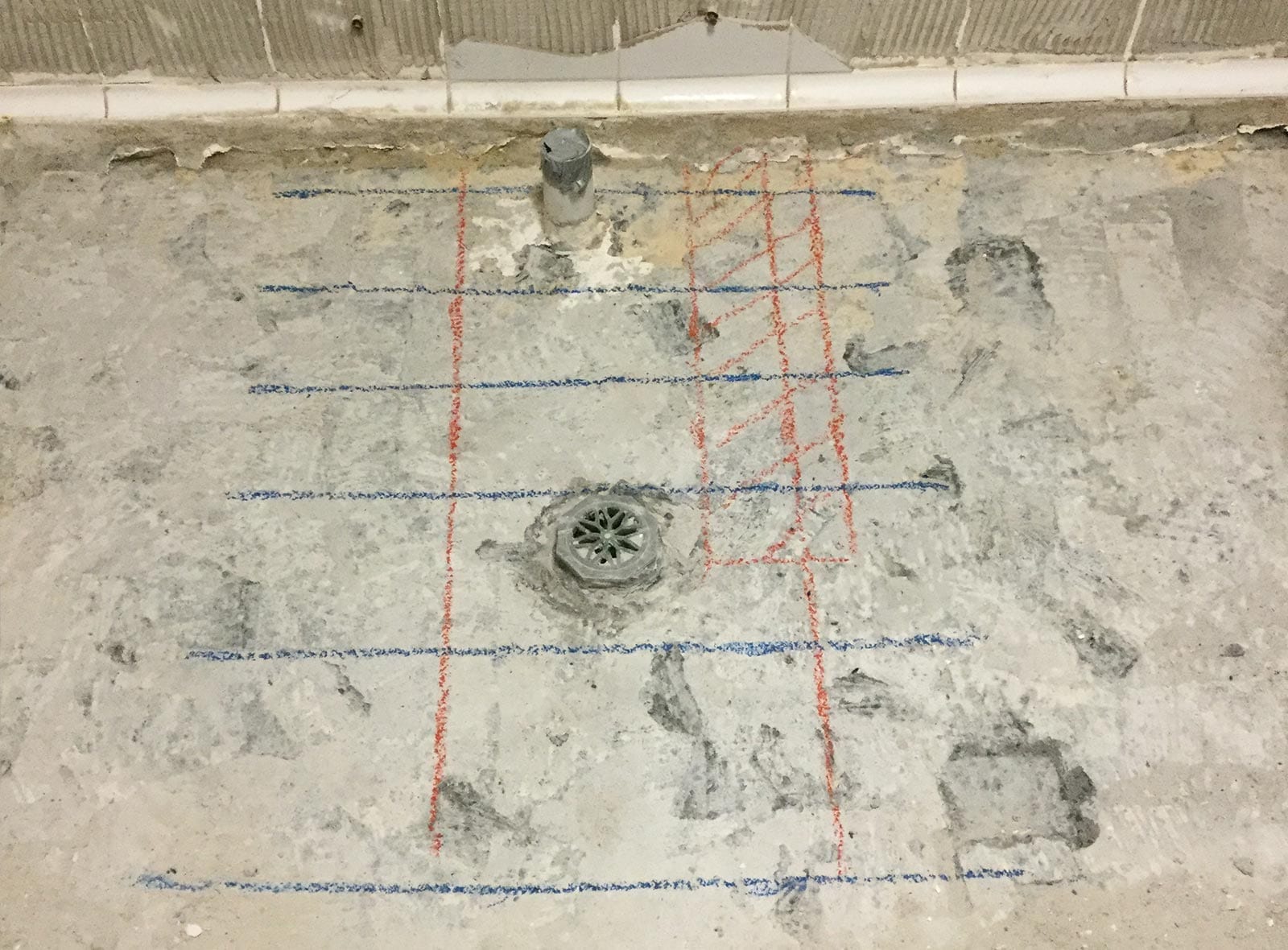
Concrete scanning provides a clear picture of underground utilities, prior to cutting, coring and drilling. Using the latest high frequency equipment, we can inspect the concrete in real-time and mark the subsurface layout as we scan.
Once underground utilities have been located, we record the positions and depth with complete accuracy. Our utility mapping surveys can be delivered in a number of different formats.
Having a clear and accurate map of underground utilities greatly reduces risk, while providing minimal disruption to the work schedule.
Underground Utility Mapping
We use GPR technology to detect and map the locations of:
- Rebar/reo steel reinforcements
- Post-tension cables
- All types of pipes and conduits
- Electrical cables including live power and mains cables
- Phone, Data and Fibre Optic Cables
We can scan and map underground utilities prior to renovations, new constructions, fence installation and pool installation for commercial and residential properties.
>

Why Use the GPR Concrete Scanning team?
GPR Concrete are a Newcastle owned and operated company. We conduct structural mappings for commercial and residential properties in Newcastle.
Our experienced team is fully licenced and insured for your peace of mind. We have the latest specialist equipment to get the job done, no matter how big or small.
Contact Paul and the team for a quote today.
Copyright © 2024 GPR Concrete Scanning
Site by EzyWeb Australia